Back to routesCumbria, England
Hard Cumbria, England

Cat Bells to High Spy Circular

Distance14.0 km
Elevation gain693 m
Estimated time3h 55m
Route typeCircular

Route overview

About this route

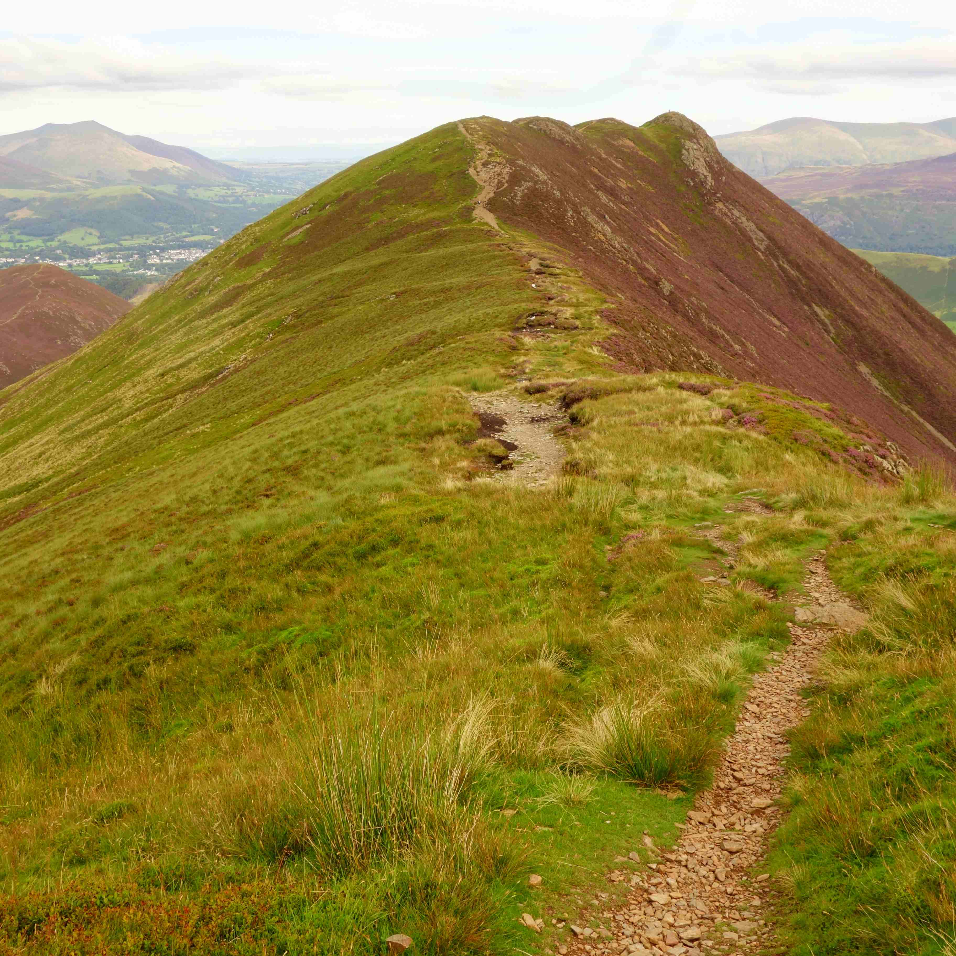
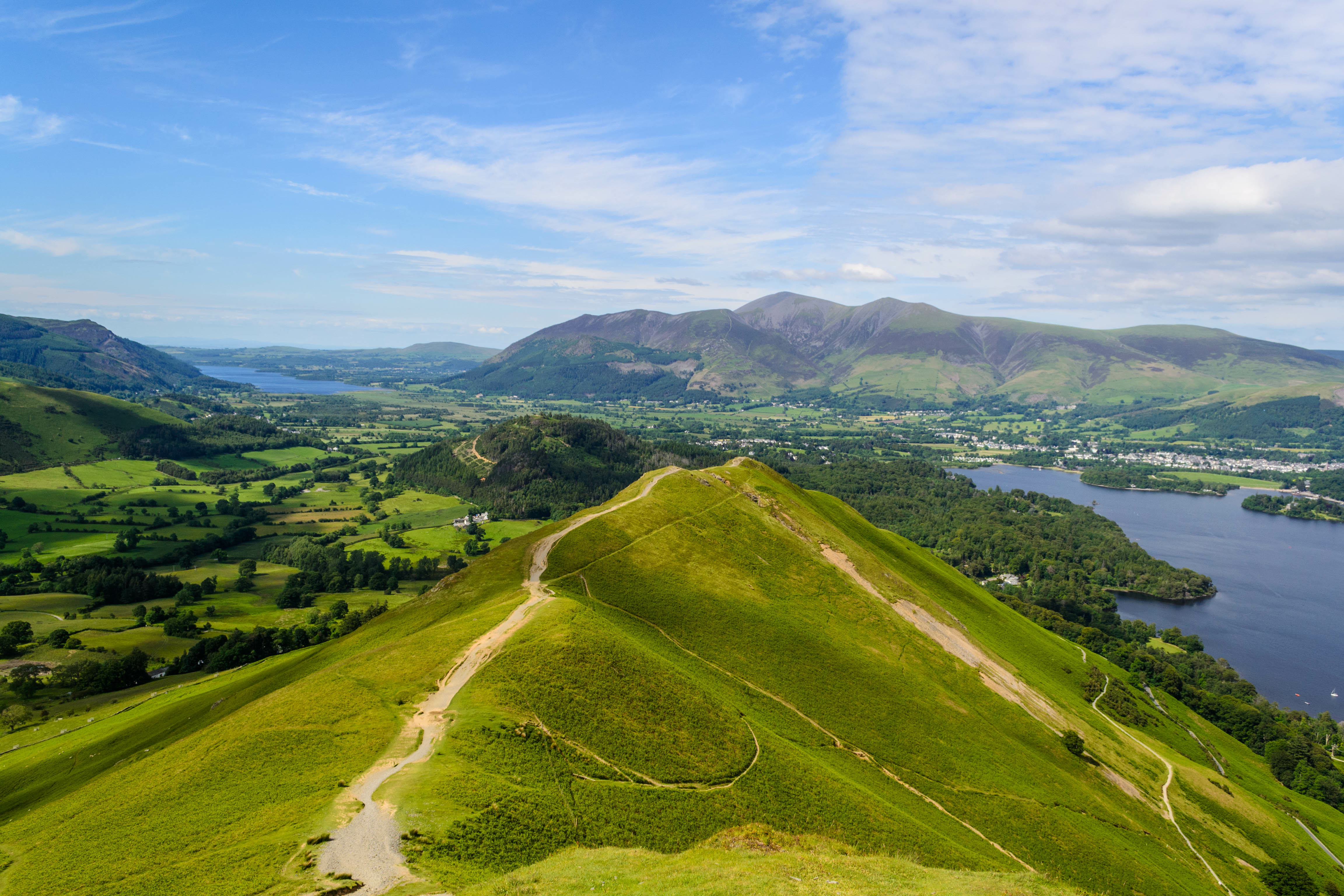
A challenging but rewarding high-level ridge walk beginning with a direct ascent of Cat Bells from Hawes End. The route quickly gains height with a short, steep climb to the iconic summit, then continues south along the ridge over Maiden Moor and High Spy, offering sweeping views across Derwentwater, Newlands Valley, and the surrounding fells. A sharp descent leads to Dalehead Tarn, a flat and open upland area surrounded by fells, before a scenic return path follows the line of Newlands Beck back to the start. With exposed ground, rough sections, and sustained elevation, this route is best suited to experienced hikers confident in the mountains. Dogs are welcome but must be kept on leads near livestock and steep sections, and the terrain may not be suitable for all dogs.
Partially PavedRockyScrambleOff TrackWaterfallViewsForestRiver

Follow the trail

Route map

Open full map
Path type & surfaceBased on OpenStreetMap data
Analysing route…
Gradient & steepness
Calculating gradient…
Elevation profile 693 m total gain

Plan your walk

Weather forecast

At the route start
Loading local forecast…

Along the way

Route highlights

4 nearby
Catbells
Wainwright

Catbells

451 m
Maiden Moor
Wainwright

Maiden Moor

575 m
Dalehead Tarn
Tarn

Dalehead Tarn

High Spy
Wainwright

High Spy

653 m

From the trail

All route photos

3 photos

Walked by the community

Reviews

5.0★★★★★Based on 1 review

What walkers say

Real feedback from people who have completed this route with Go Guide.

Matt Fryer5 September 2025
Stunning viewsWell markedWould recommend
Moderate A few walkers around