
Back to routesCumbria, England
Moderate Cumbria, England

Wray Castle Circular via High Wray & Blelham Tarn

This route was planned by Go Guide.
Distance10.0 km
Elevation gain277 m
Estimated time2h 25m
Route typeCircular

Route overview

About this route

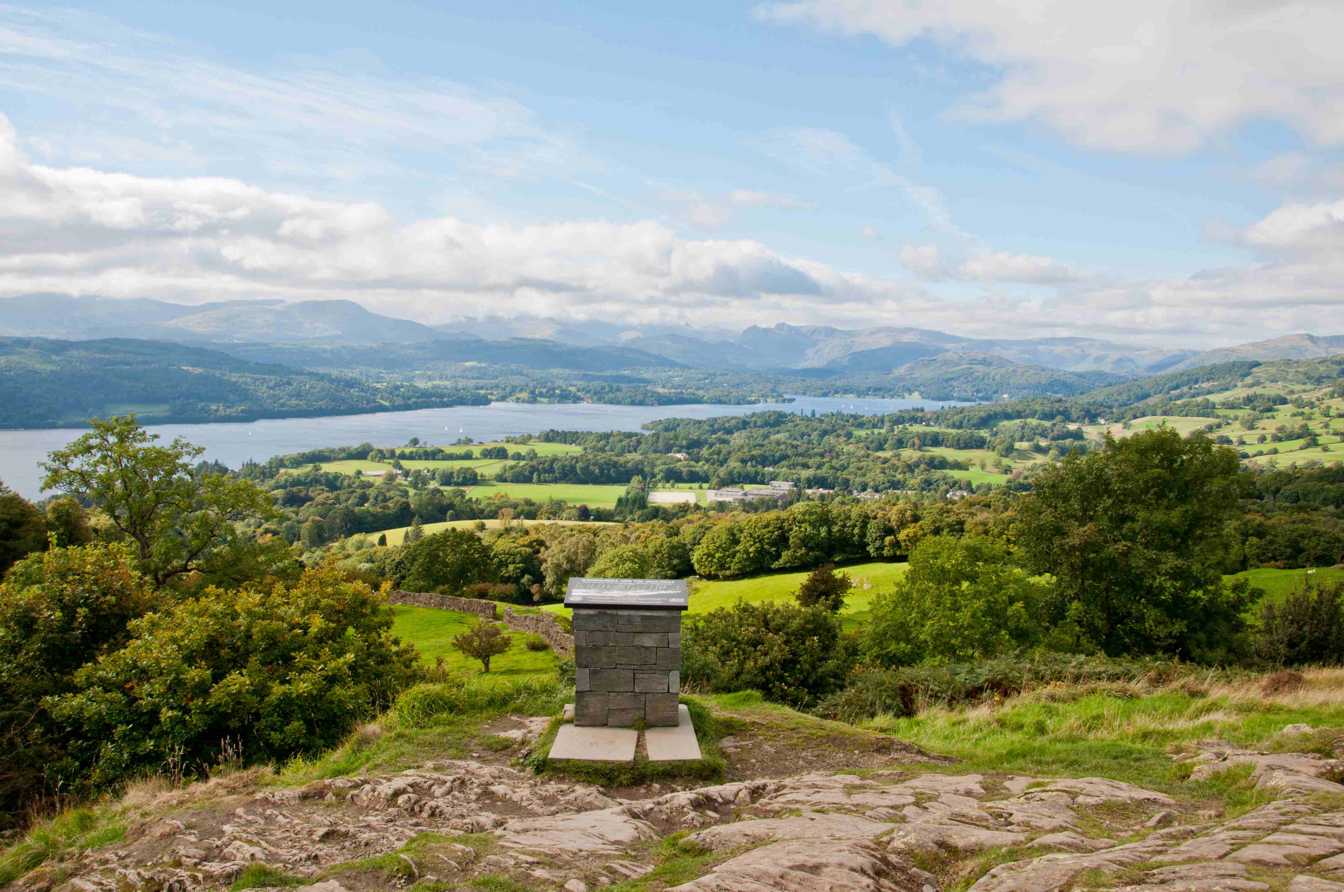
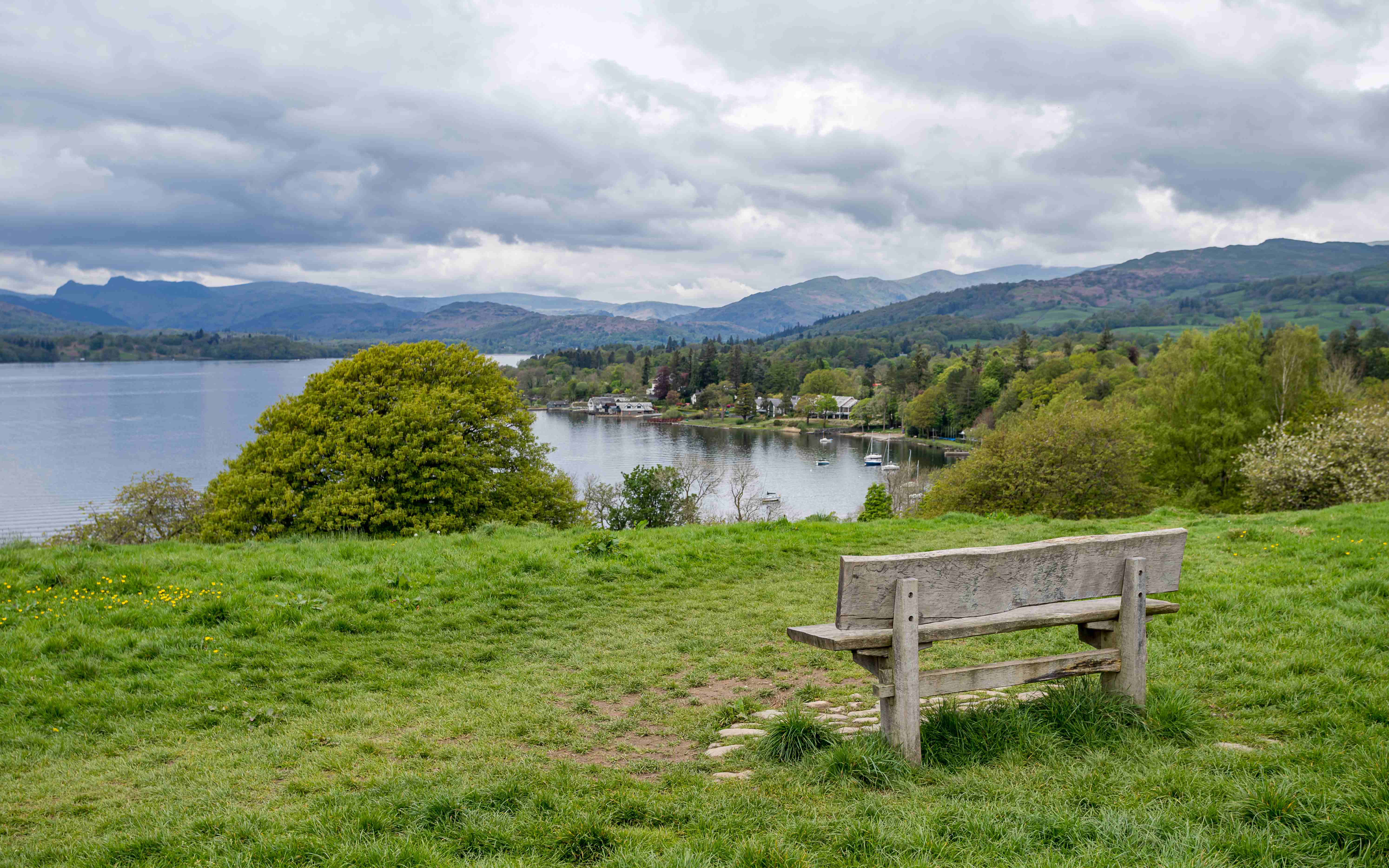
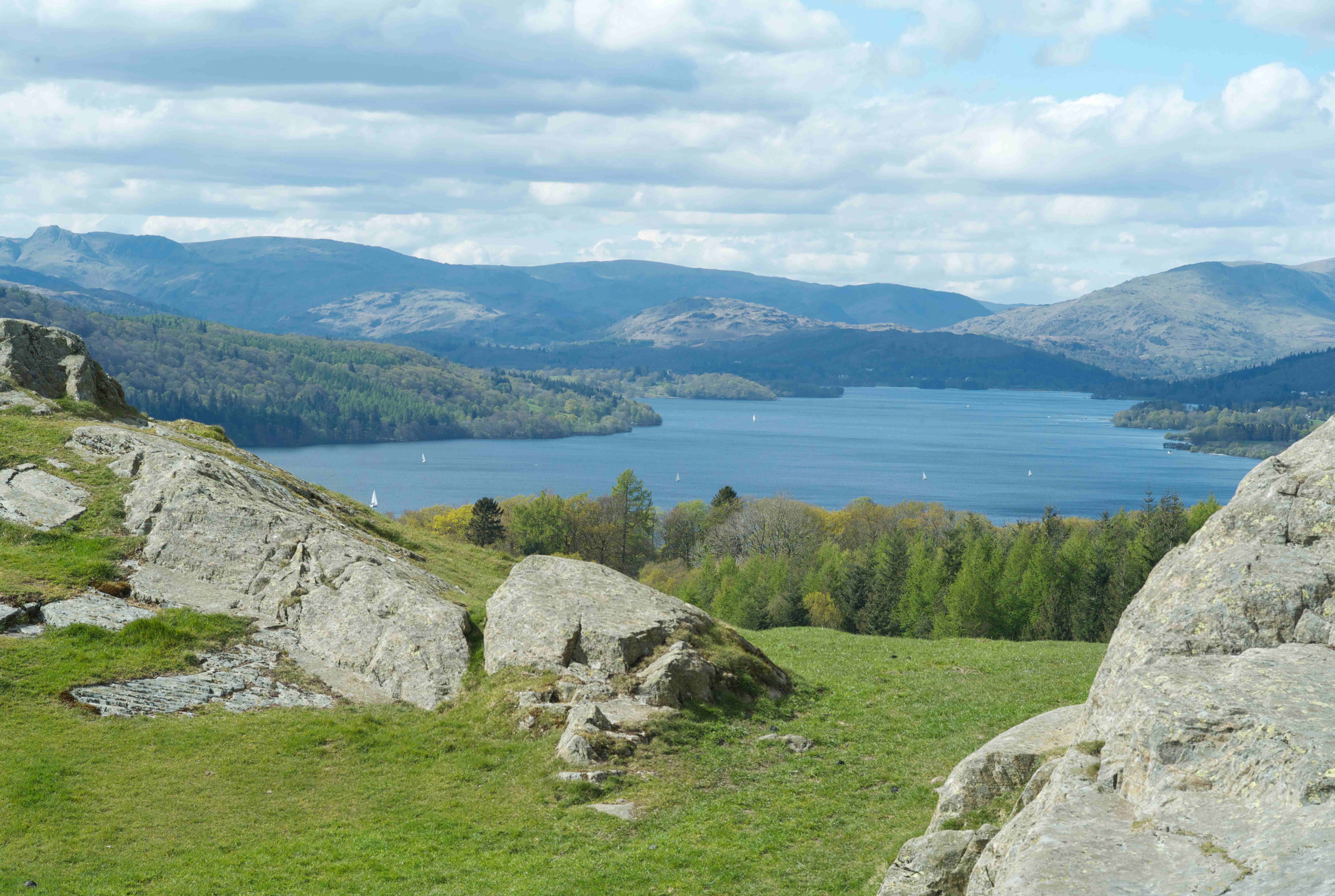
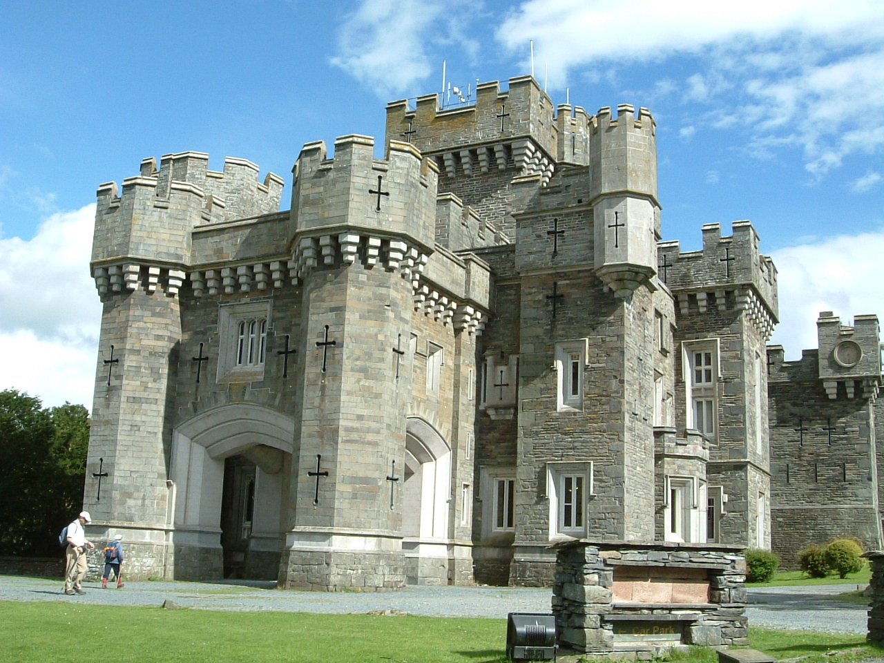
A varied and scenic loop from the western shore of Windermere that links woodland trails, open farmland, and a visit to the striking Wray Castle. The route begins by following the lakeshore north before climbing gently towards Blelham Tarn and the quiet paths around High Wray. With open views, peaceful woodland, and a mix of terrain, it's a rewarding half-day walk with interest from start to finish. Dogs are welcome but must be kept on a lead near livestock.
Partially PavedLakeViewsForestRiver

Follow the trail

Route map

Open full map
Path type & surfaceBased on OpenStreetMap data
Analysing route…
Gradient & steepness
Calculating gradient…
Elevation profile 277 m total gain

Plan your walk

Weather forecast

At the route start
Loading local forecast…

Along the way

Route highlights

2 nearby
Wray Castle
Castle

Wray Castle

Blelham Tarn
Tarn

Blelham Tarn

From the trail

All route photos

3 photos

Walked by the community

Reviews

-☆☆☆☆☆Based on 0 reviews

What walkers say

Real feedback from people who have completed this route with Go Guide.

No reviews yet

Be the first to share what this route was like.